viz.
Visual Rhetoric - Visual Culture - Pedagogy
Site informationRecent Blog Posts
|
CrowdsThe Pedagogical and Aesthetic Possibilities of Crowdsourced Films
Submitted by Calliope on Thu, 2012-11-08 19:26
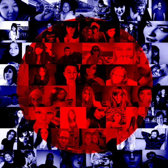
Image Credit: RoseVallentine I teach a class about the new rhetoric of internet commerce. I have my students write a standard rhetorical analysis paper around the middle of the term, and for their primary texts I ask them to use the digital marketing materials of dotcoms. Of all the paper genres I assign (expository, persuasive, etc.) rhetorical analysis is generally my favorite. I prefer these papers because I'm a literary critic, and rhetorical analyses are essentially close readings that use a standard rhetorical methodology. But there's another reason I especially enjoyed reading my students' analysis papers this semester: they introduced me to several fantastic websites that I didn't know about before. I feel compelled to share one of these sites with viz. readers because of its novel interventions in visual culture. (And I want to thank my student, who I will refrain from naming, for the great find!). The company is called hitRECord, an open, online platform for collaborative filmmaking and other artistic expression. Remote Sensing and the Obama Inauguration
Submitted by Nate Kreuter on Wed, 2009-01-28 13:35
Much was made of the crowds that attended President Obama's inauguration in Washington, DC last week. As evidence of remote sensing's (that is, satellite image's) greater role in public consciousness, check out this image of the crowds gathered for the historic moment, shot at one-half meter resolution. (One-half, or.5, meter resolution means, more or less, that the smallest units discernible in the image are .5 x .5 meters, about the size of a person from above. The resolution is roughly equivalent on the NIIRS scale, which is the military/intelligence community's rating scale for remotely sensed image interpretability.) Increasingly news organizations are citing remotely sensed images in their reporting. Whether this is a techno-fad or provides a legitimately new and informative perspective on events, I'd be curious to hear readers' opinions on.
Image courtesy of GeoEye (click link for a larger resolution photo, as well as additional remotely sensed images) |
|

Recent comments
2 years 29 weeks ago
2 years 44 weeks ago
2 years 44 weeks ago
2 years 50 weeks ago
3 years 4 weeks ago
3 years 4 weeks ago
3 years 4 weeks ago
3 years 6 weeks ago
3 years 6 weeks ago
3 years 6 weeks ago