viz.
Visual Rhetoric - Visual Culture - Pedagogy
Site informationRecent Blog Posts
|
image databasesAlternative Archives: Radical Software
Submitted by Rachel Schneider on Wed, 2010-03-10 15:47
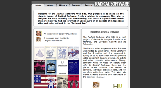
Image Credit: Screenshot from Radical Software H/T: Chris Micklethwait As Noel prepares to lead a Best Practices for Digital Images workshop here at UT, the rest of us in the Visual Rhetoric group hope to make some of this work public here on viz. for others to use. One website that presents some interesting work done in the 1970s that theorizes the use and creation of digital/video media is Radical Software. Tags:
Google Earth Pedagogies: Making the Most of Map Databases
Submitted by Laura T. Smith on Mon, 2010-03-08 14:10
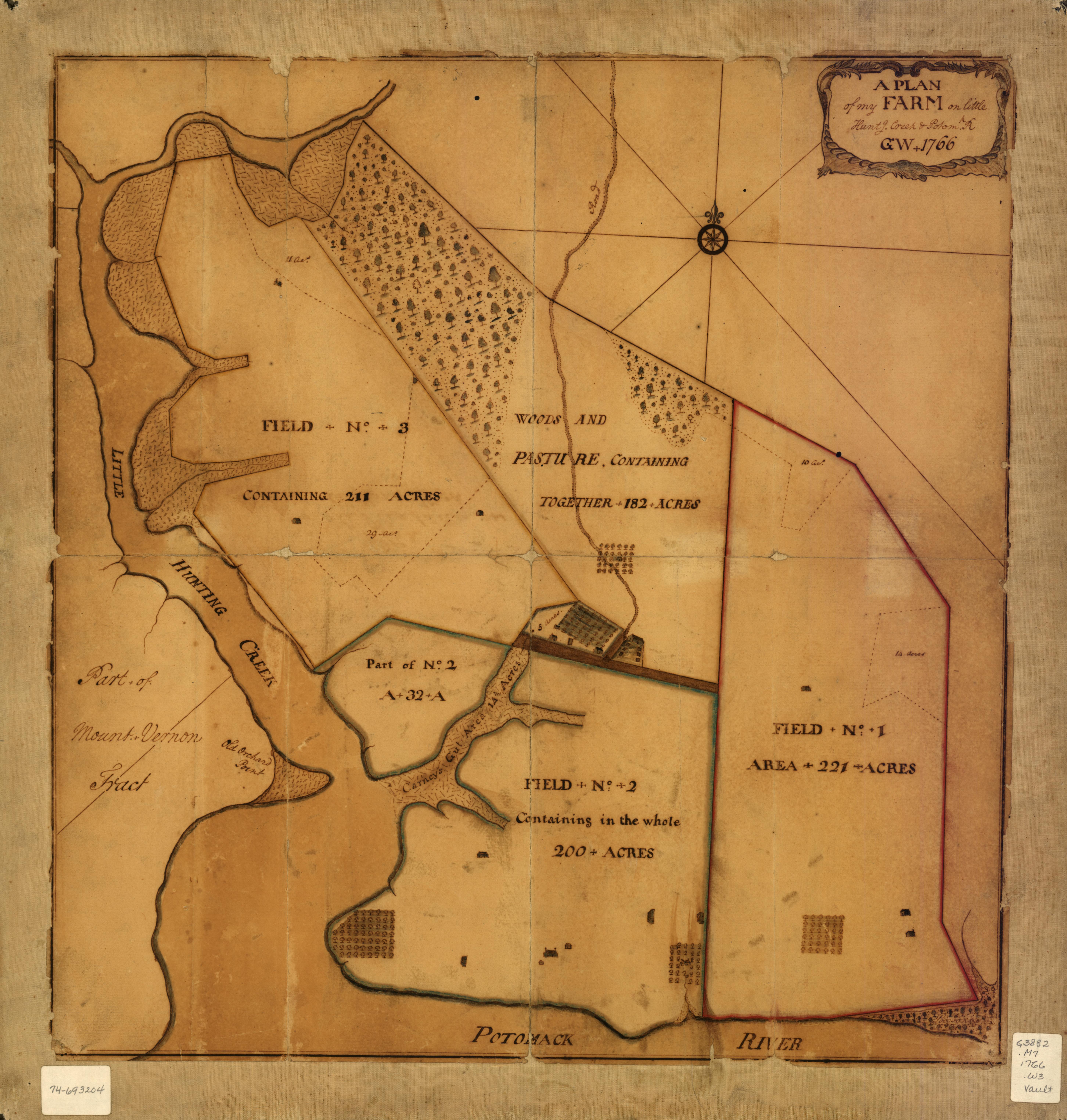
(Image source: Library of Congress Map Collections) The above map, created by George Washington in 1766, depicts “A plan of my farm on Little Huntg. Creek & Potomk.” This map, which is publicly viewable at the Library of Congress Map Collections and downloadable as a high-resolution JPEG2000 file, is included in the Collections’ “Cultural Landscapes” section, which highlights the ongoing cultural construction of United States and World landscapes through the ways individuals, communities, and nations modify land. This subsection of the online Collection places an array of cartographic materials into conversation: a set of local maps authored by George Washington, a series of maps of Liberia created by the American Colonization Society, and a store of historical U.S. atlases. Tags:
Viz. Workshop on March 26
Submitted by noelradley on Thu, 2010-02-25 13:10
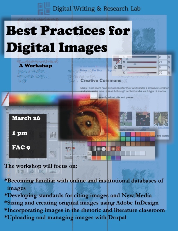
Viz. will be hosting a workshop at the end of March, here at the University of Texas. Click through to the DWRL page to read more. |
|
Recent comments
2 years 29 weeks ago
2 years 44 weeks ago
2 years 44 weeks ago
2 years 50 weeks ago
3 years 4 weeks ago
3 years 4 weeks ago
3 years 4 weeks ago
3 years 6 weeks ago
3 years 6 weeks ago
3 years 6 weeks ago