viz.
Visual Rhetoric - Visual Culture - Pedagogy
Site informationRecent Blog Posts
|
Visual resources for teaching Latin American and Border Studies
Submitted by John Jones on Wed, 2007-08-22 11:43
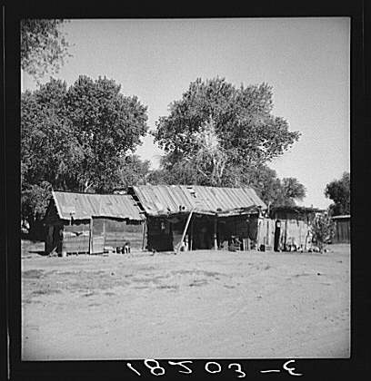
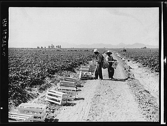
UT’s First-Year Forum text for 2007–2008 will be Luis Alberto Urrea’s The Devil’s Highway. Yesterday I sat in on a seminar hosted by the DRW where Domino Perez discussed some of the background and context of the issues that the book engages. One theme of the discussion was the influence of film on the Urrea’s prose, as well as how images of Latinos can both support and trouble Urrea’s arguments. In the wake of that discussion, I thought I would post links to some Latin-American and Border Studies visual resources for use by DRW instructors and anyone else who is teaching a class that deals with these fields.
• “Border Icons”: Border Studies Curriculum, The Center for Latin American and Border Studies, New Mexico State University: Although it contains no images, this lesson plan discusses border icons and provides class activities that could be adapted for use in a college classroom. • Border Studies, Humanities-Interactive: This collection of multimedia essays documents the changes to the border between Mexico and the U.S. • Blogging Pedagogy: Jim Brown has created a map of one of his personal borders using Google’s MyMaps tool. A discussion of how this tool can be used in teaching border studies can be found at Blogging Pedagogy. Update: Bill Nericcio’s Tex[t]-Mex Galleryblog® “devotes itself to the aggressive, relentless, and, at times, pathological interrogation of Mexican, Latina/o, Chicana/o, “Hispanic,” Mexican-American, and Latin American stereotypes. It is either the online supplement to or the bastard sister of” his 2007 book Tex[t]-Mex: Seductive Hallucinations of the “Mexican” in America. (via Noël) I’m sure this list is far from complete; please add to it by posting links any other relevant sites in the comments section. |
|


Recent comments
2 years 29 weeks ago
2 years 44 weeks ago
2 years 44 weeks ago
2 years 50 weeks ago
3 years 4 weeks ago
3 years 4 weeks ago
3 years 4 weeks ago
3 years 6 weeks ago
3 years 6 weeks ago
3 years 6 weeks ago